
Drone & aerial · SOUTHWEST FLORIDA
Aerial photography
Show the home in its surroundings.
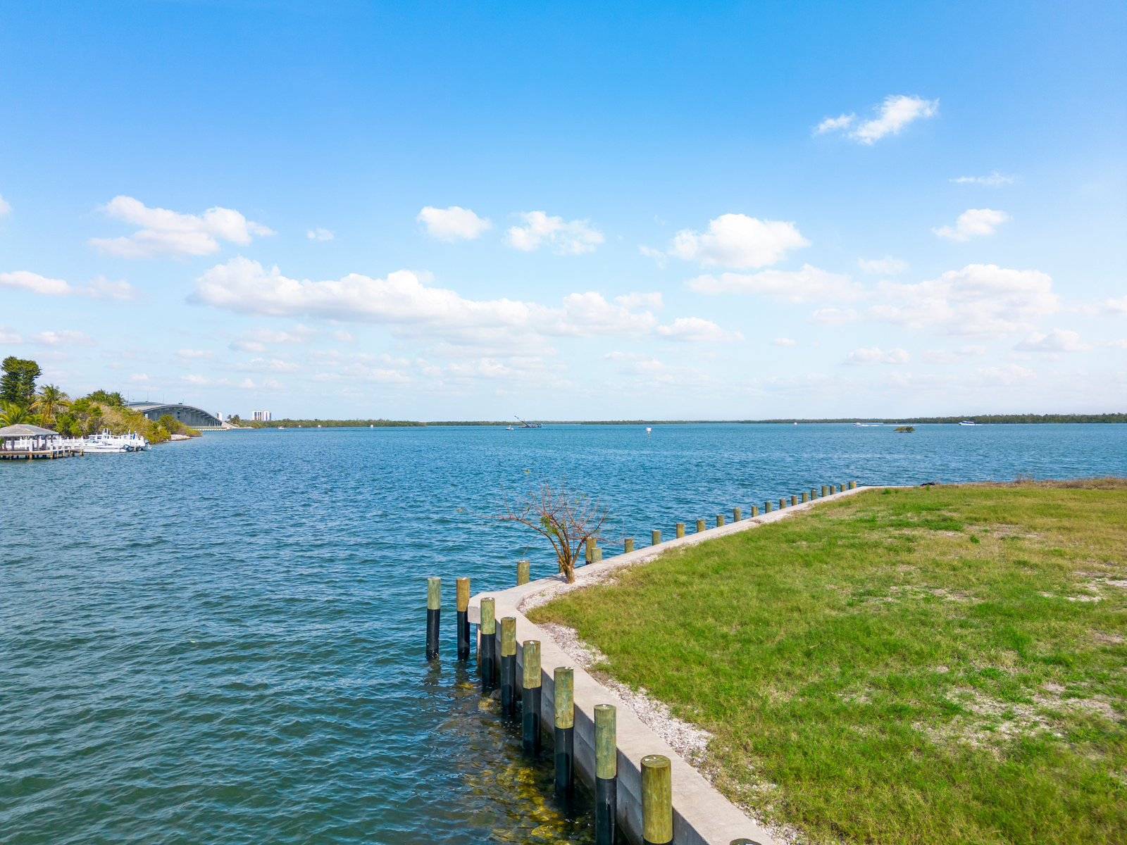
Ground-level photos can show the rooms. Aerial images help explain the setting: the water, the lot, the access, and the spaces around the home that buyers need to understand.
THE APPROACH
Context that a front-door view can miss.
We plan aerial views around the property’s useful features, rather than taking high shots just because we can. For a waterfront home, that might mean showing the relationship between the house, pool, and dock. For a larger lot, it may mean a wider view that makes the setting easier to read.
What to expect
- Drone stills selected to show the property and its surroundings
- Options for different image counts in the existing service menu
- Coverage coordinated with listing photography when requested
Before we arrive
Tell us about docks, outbuildings, access routes, or nearby amenities that matter. If boundaries are to be illustrated, provide reliable reference information; an aerial image is not a survey.
Available for properties in Naples, Estero, Bonita Springs, Fort Myers, Cape Coral, and the surrounding Southwest Florida area. Ask about your location ↗
A COUPLE OF COMMON QUESTIONS
Good to know.
Can you fly at every property?+
Flights depend on airspace, weather, safe access, and conditions at the location. We’ll assess the plan rather than promise an aerial shot that may not be possible.
Does this include aerial video?+
Photos and video are separate services unless your selected package combines them. Ask us which combination fits the listing.